Like most people living in Wellington, Ian and I wanted to get out of Wellington for Christmas. With what seems like the remainder of the world sadly in lockdown at the moment, we wanted to get into the spirit of 2020 by ending the year separated from our families and disconnected from the rest of the world. And where better to self-isolate than on the best beaches in New Zealand, socially distancing from our fellow campers.
In October, I booked our travel (15 hour InterCity FlexiPass for $136, which just about perfectly covers return trips for the Interislander Cook Strait Ferry to Picton and InterCity bus to Nelson) and accommodation (DOC campsites in the Abel Tasman for $15 per person, per night).
Itinerary:
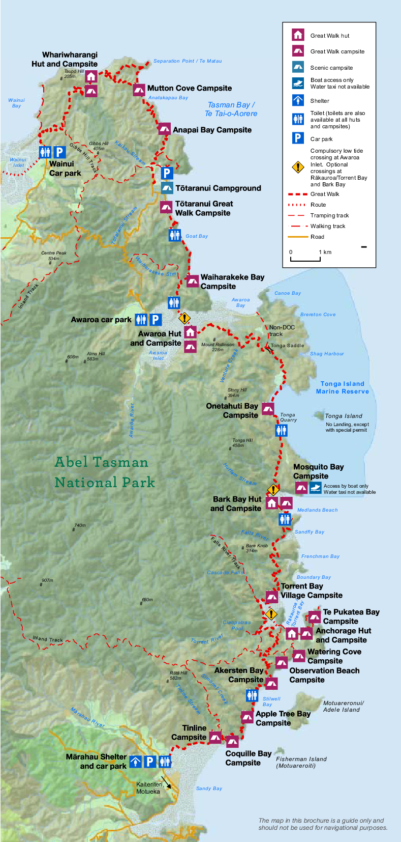
- Day 1: Marahau - Te Pukatea Bay
- Day 2: Te Pukatea Bay - Torrent Bay
- Day 3: Torrent Bay - Onetahuti Bay
- Day 4: Onetahuti Bay - Tōtaranui
- Day 5: Tōtaranui - Mutton Cove
- Day 6: Mutton Cove - Tōtaranui (via Gibbs Hill)
- Day 7 (Optional): Taking another crack at this whole sea kayaking thing...
This was largely based off of availability of campsites, distances between each other, and doing some "research" on Google Images to get a glimpse into the more attractive looking campsites.
The earlier you can book your campsites, the better. Even by October, there were so many campsites fully booked on certain nights. I would have loved to have stayed at Anapai Bay, but it was already booked solid for the Christmas period!
The kayak company arranged our shuttle buses between Nelson and Marahau, as well as the water taxi to pick us up at the end. (Water taxis don't go further north past Tōtaranui, hence why on Day 6 we needed to loop back around if we wanted to "complete" the Great Walk past Wainui.)
Day 1
Marahau - Te Pukatea Bay
Wednesday 23 December 2020
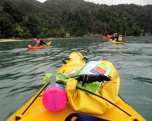
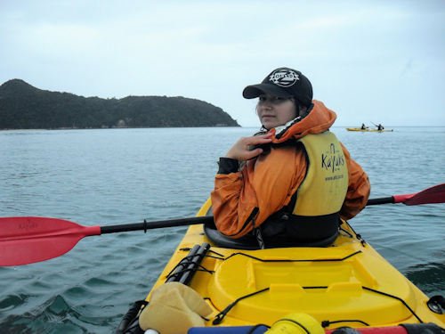
We paid for a "1 day freedom hire" with Abel Tasman Kayaks. The plan was to kayak from Marahau to Anchorage, where we could essentially trade back our kayaks for our rucksacks, and walk to the Te Pukatea Bay campsite. But the weather had other ideas.
When we checked in at the base for our safety briefing, we were told that due to the weather conditions the guide would like us to accompany him on the half day tour he was giving to another couple. Once we get to Adele Island, he'd assess the weather and our kayaking capability, and let us know his recommendations on whether he thinks we could make Anchorage or not.
It was all a bit of a rush — and not the fun adrenaline kind. The wind and the rain were relentless. We briefly stopped at the main landing for Adele Island, just long enough for one of us (not me!) to accidentally pee right next to a seal who gave her the fright of her life. The guide gave us our options. We could make Anchorage, but we'd have to leave now and we'd have to paddle hard and fast. If we changed our mind along the way, he explained, there were only two points at which we had the opportunity to bring our kayak in.
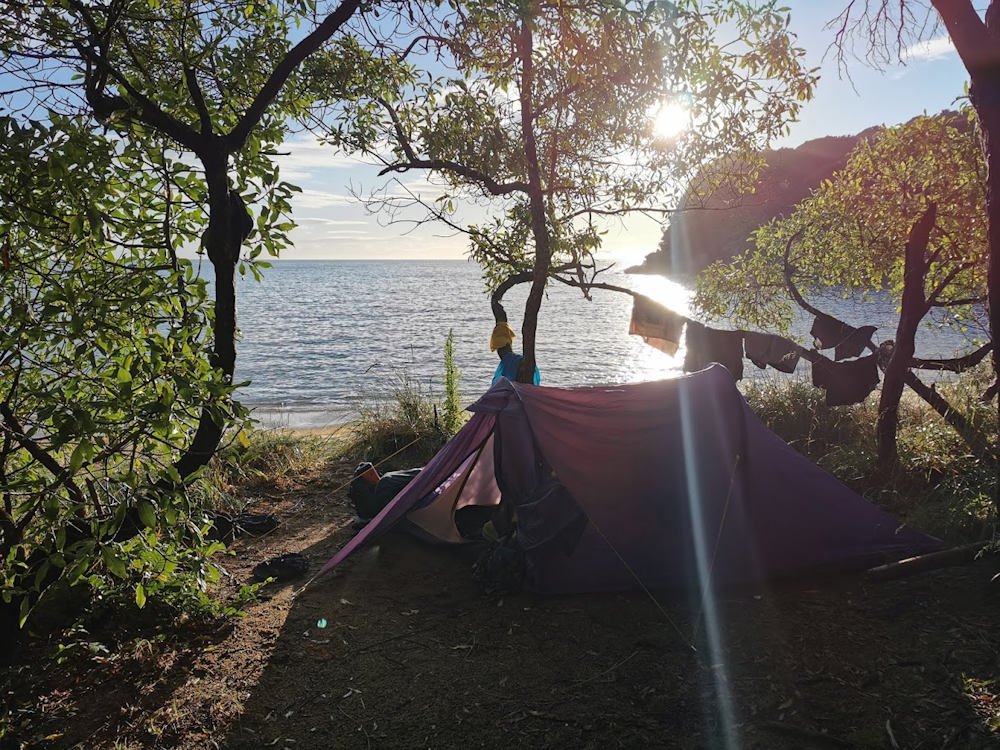
We managed. At times, it felt like we made little to no progress battling against the wind and the waves. But we eventually made it to Anchorage, pulled our kayak up onto the racks, and collected our packs from the DOC hut. Everything already felt a bit wet at this point. And we still needed to get to Te Pukatea Bay.
We poured ourselves a hot coffee from the thermos, had a quick snack, and made use of the filtered water at Anchorage before setting off again on foot. Flushing toilets here felt like a luxury at the time, but little did we know that we'd encounter more of them as we progressed up the track.
Once we arrived at Te Pukatea, we pitched up our tent and took a short stroll up to the Pitt Head Lookout, because why not.
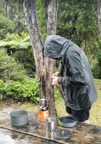
Cooking was wet. Everything was wet. And everything was going to get wetter. And windier.
That night, we had difficulty sleeping. The tent shook so hard as torrential rain and gale force winds battered us non-stop throughout the night and early hours of the morning. I was genuinely terrified that we'd be blown away.
We learnt a lot about guy ropes, and how best to optimise them.
🕙 Departed Marahau at 10AM.
🕑 Arrived at Te Pukatea Bay at 2PM.
👣 12,137 steps / 7.37 km walked total

Day 2
Te Pukatea Bay - Torrent Bay
Thursday 24 December 2020
Luckily, we awoke on Christmas Eve to heavenly sunshine. We basked in it, laying out all our worldly possessions (on this side of the Cook Strait) as if they were offerings to the tramping gods. May our stuff dry quickly, O God of Sun!
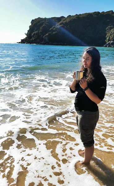
And because our clothes were very wet, we were forced to take a very long dip in the sea. A very long, very enjoyable dip in the sea.
Despite the night previous, Te Pukatea Bay turned out to be a beautiful beach campsite. Definitely one that I hope to someday return to.
A weka stole our bhuja mix. Would make a great name for a band but, alas, we are not that cool. We were in and out of the tent for various reasons, and a sneaky weka took advantage of the open tent when neither of us were looking. Ian tried to chase it through the bush, but emerged from the brambles very scratched up. Moral of the story: watch out for weka.
This was supposed to be the easy day.
The tidal crossing from Anchorage to Torrent Bay should only have taken 30 minutes max. Easy breezy. Then we'd have plenty of time to drop our heavy packs, enjoy the day walks in the area, and explore Cleopatra's Pool. A tourist attraction in itself.
We got to the fork in the track, where we could either take the 30 minute tidal crossing at sea level or the 2 hour track around the inlet up and down the hills. This is where we messed up. As we were running late, from swimming and drying, we assumed we were already cutting it a bit close to catch low tide for the crossing. We passed a boy coming from that direction, and so we stupidly put the decision to him: "Do you think we can make it?"
"Well... When we crossed half an hour ago, we had to cross a couple of rivers. Maybe take the track?"
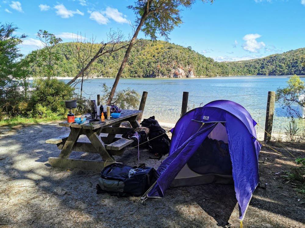
Three hours later, as we looked toward Anchorage and the orange marker poles in the inlet, we felt really dumb. It would have taken us just a few minutes to scope out the tide situation for ourselves. Instead of putting the pressure on a well-meaning teenage boy.
Sadly, we never made it to Cleopatra's Pool.
Torrent Bay itself isn't the nicest campsite if you're not boating, to be honest. There's a whole bunch of private land with lots of industrial-sounding background noise, and a very lovely dog who unfortunately likes to poop on the beach.
🕛 Departed Te Pukatea Bay at 12PM.
🕓 Arrived at Torrent Bay at 4PM.
👣 19,018 steps / 11.35 km walked total

Day 3
Torrent Bay - Onetahuti Bay
Friday 25 December 2020
Merry Christmas! We actually had the best Christmas ever.
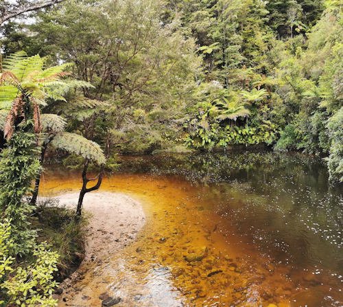
To get to Onetahuti Bay from Torrent Bay, Bark Bay would be about half way. Half way between Torrent Bay and Bark Bay is a cute little Halfway Pool, fully sign-posted by DOC. An unexpected swimming hole next to a bridge, unmarked on the map, with little wooden steps down to the stream. After much deliberation, we gave it a miss. But I'll bet it's a welcome stop for many people, just as an opportunity to cool down and refresh before continuing on the trail.
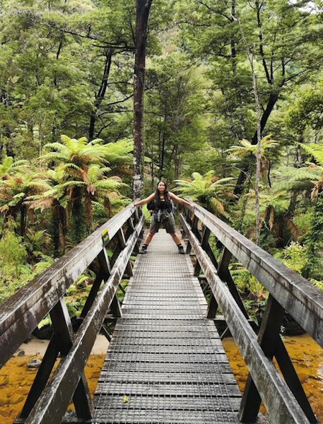
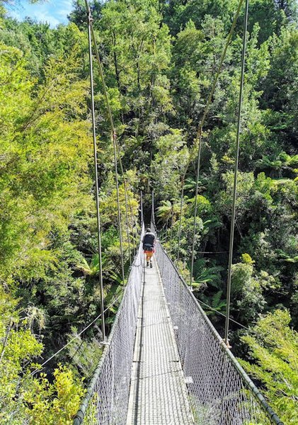
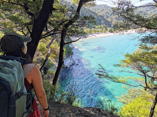
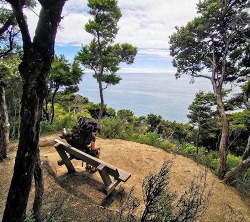
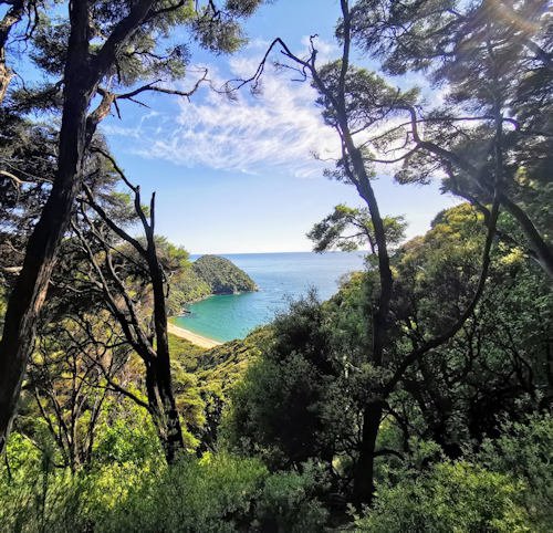
The Swing Bridge gives some amazing views down into the bush below. There are generally some beautiful views and lookouts along this section of track. Shortly before we descended onto Bark Bay, we ditched our packs next to a sign post advertising a quick climb to a lookout point. The view was picturesque, as expected, but I wonder whether the effort it took to get to that vantage point is all that made the view so sweet. There are views equally as picturesque along the Abel Tasman track itself, that require no additional climbs or detours. I expect these short walks are more worthwhile for the day trippers in the area.
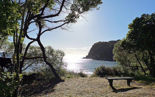
Bark Bay was an awesome lunch spot, offering a shaded picnic table with amazing views of the sea. We even got to see a glimpse of dolphins on Christmas! Bark Bay also boasted my favourite toilets along the whole track. We were also able to stop into the kitchen shelter to check tide times and weather forecasts. We crossed the sandy inlet, removing our boots to wade ankle-deep a few metres at the end, then began to climb the next hill.
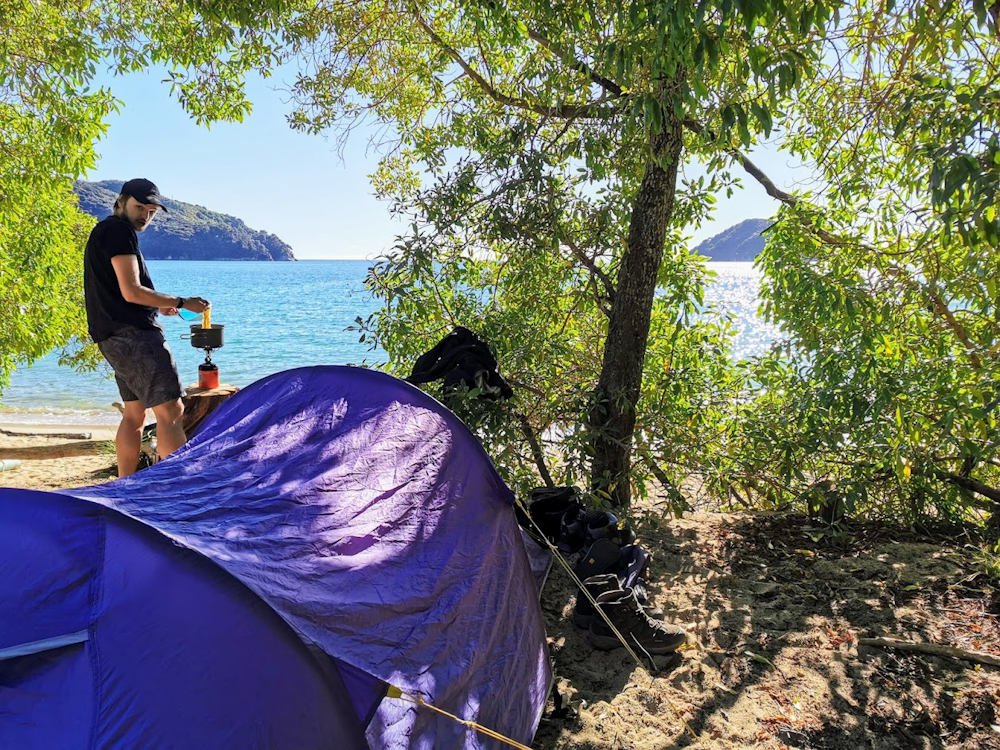
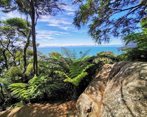
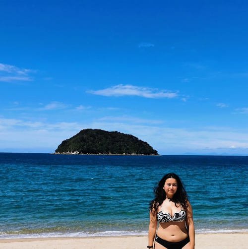
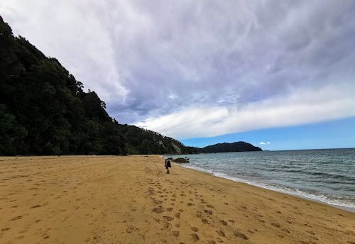
About half an hour's walk before Onetahuti Bay, we passed a lonely beach with a perfect view of Tonga Island. We were eager to drop our packs, tear off our clothes, and run straight into the water. The weather couldn't be beaten, the sea couldn't be bluer, and who knows what Onetahuti Bay had to offer. Tonga Quarry was irresistible, and so we spent a good hour or so just swimming and sun bathing. We had the whole beach to ourselves.
Which was perfect as Onetahuti Bay was relatively packed! As well as the usual tramping types, there were a couple of different parties drinking and celebrating Christmas. The Russians came with their own electro dance music soundtrack to accompany their drinking and smoking, meanwhile the Brits proved to be the loudiest and rowdiest overall (no surprise!). We had a lovely little tent site with picturesque views over the beach, but it wasn't the most relaxing beach atmosphere so we were glad to have had Tonga Quarry. Onetahuti Bay was otherwise quite a good campsite.
🕘 Departed Torrent Bay at 9AM.
🕔 Arrived at Onetahuti Bay at 5PM.
👣 26,252 steps / 16.23 km walked total

Day 4
Onetahuti Bay - Tōtaranui
Saturday 26 December 2020
We were supposed to go from Onetahuti Bay straight to Mutton Cove. A fairly long walk through the bush, but one that would afford us two lazy beach days at Mutton Cove.
Once again, the weather had other plans. We never expected to get a White Christmas... Even if it was a day late.
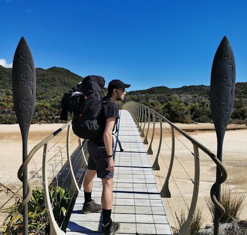
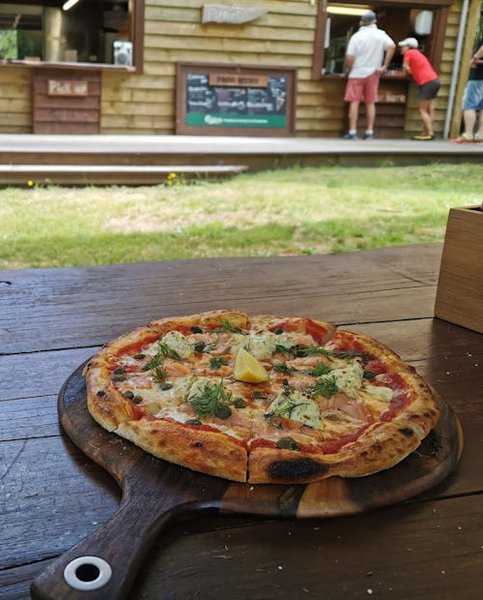
The sun was shining, the heat was sweltering. We crossed over a majestic bridge from the beach to a native garden, with a wooden pathway that led us to our first hill of the day. We avoided the more intimidatingly named Sky Track through Awaroa, and opted for the downhill track to the Awaroa Lodge, lured by fabled promises of pizza and "probably the last beer for 37km". Our Smokey Joe pizza was a cheeky $28 but, whether it was for the novelty or pure pizza craving, we could hardly say no. Smokey salmon, capers, onion, and cream cheese. Just a winning combination, with an iced coffee to wash it down.
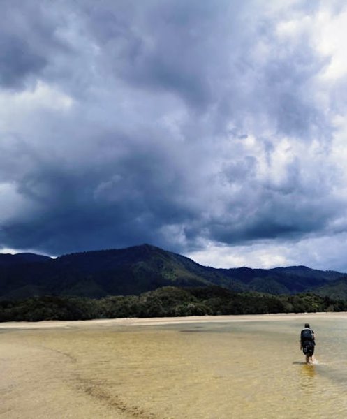
From there, it was a short stroll to the Awaroa inlet which we had to cross during low tide. Even during low tide, don't forget your water shoes. At 5ft (150cm) tall, I was still wading through waters that went up to my knees. You can't always see the ground through the water; which gets a bit sharp and rocky in some places, and black and squelchy in others.
As we made the tidal crossing, the clouds looming above us got increasingly angrier. One guy we passed commented, "Forecast says just a couple of millimetres of rain. Refreshing!". If only...
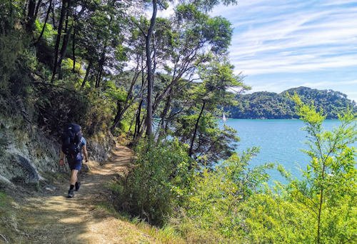
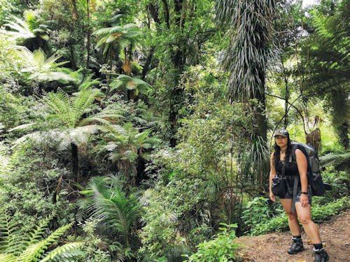
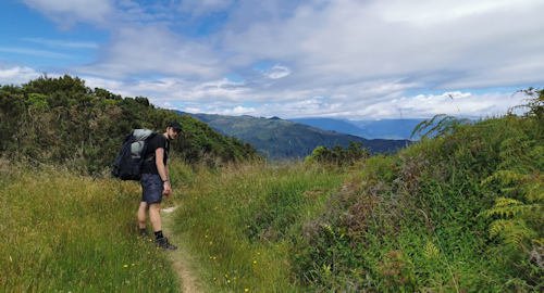
Up and down bushy hills, along secluded beaches, and back into the hilly bush.
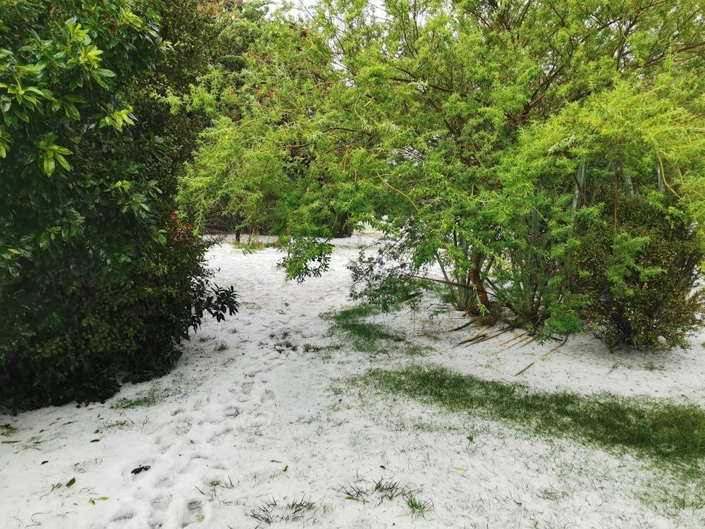
We didn't get to take any photos of our tent site at Tōtaranui. For one thing, we weren't even supposed to be staying here this night. But when it started thundering above us, Ian persuaded me to tap out on this one. We'd be fools to continue up and down the hills to Mutton Cove. The tent had barely been up two minutes before the hail started hammering down on us. We chucked everything into the tent, then dashed under the cover of the camp cooking area as hailstones the size of marbles continued to crash down onto the tents.
The cooking shelter served as a refuge for a lot of campers that evening, as everyone huddled in close and just watched the grass getting buried. Our breath misted in the air.
Once the hail eased off, we returned to our tents to assess the damage. We kicked away the hail burying the bottom of our tents, pulled out the pegs, and repositioned our tent somewhere a little less hailstone-y. Yet again, everything was wet. We used our dirty clothes to mop up the inside of our tent, carpeted the floor with our towels beneath our sleeping mats, and just tried to fall asleep keeping our sleeping bags as dry as possible.
It was a cold and uncomfortable night.
🕙 Departed Onetahuti Bay at 10AM.
🕔 Arrived at Tōtaranui at 5PM.
👣 27,319 steps / 17.59 km walked total

Day 5
Tōtaranui - Mutton Cove
Sunday 27 December 2020
Better late than never!
Luckily, the morning was bright and sunny so we hung up our wet clothes on trees once again, and draped our belongings over a picnic table facing the sun.
We were vastly outnumbered by cars and motorhomes, so we were keen to get walking as quickly as possible. Seems like a great place for a family holiday, perhaps, but not so much when you're trying to get away from civilisation. Tōtaranui wasn't our idea of a great campsite, but it served us well in a crisis.
The walk to Mutton Cove was short and sweet. As we didn't have far to go, we were only the second campers there, giving us plenty of choice of where we wanted to set up for the night. We picked a pretty little spot next to a picnic bench, with a little cover from the bushes either side and a log between our tent and the beach where we could sit and watch the waves.
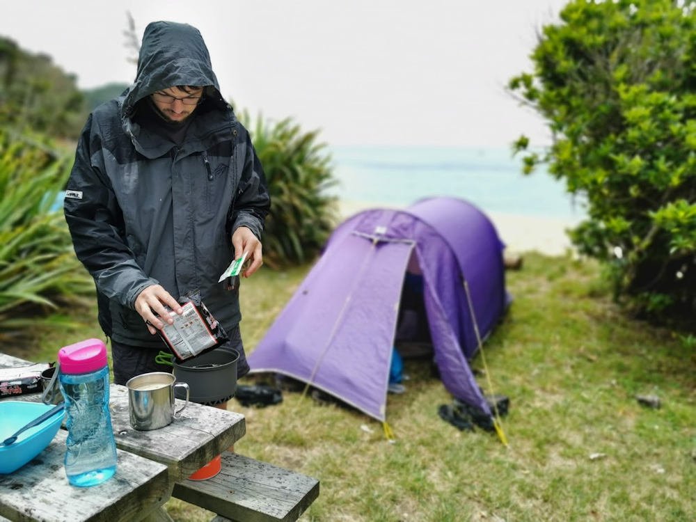
By night, the campsite was packed and we could feel our spot was the envy of many campers who were pitched up completely in the open with no privacy whatsoever.
The sun wasn't the brightest and the sky dribbled sporadically, but all in all the clouds weren't as angry as they had threatened. We even managed quite a pleasant swim and a sunbathe, between the cloudy periods!
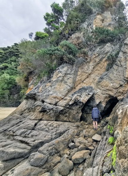
Scrambling over the rocks to get a good look at the next two bays over, we decided Mutton Cove was just as delightful.
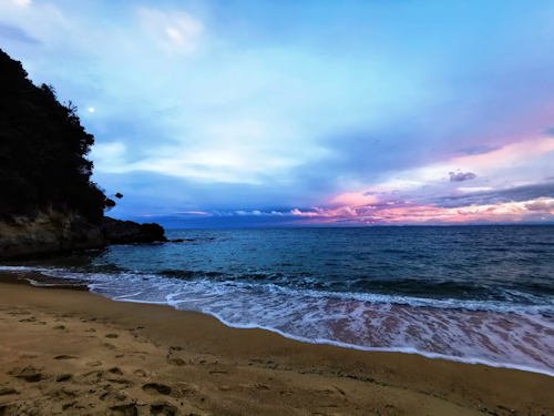
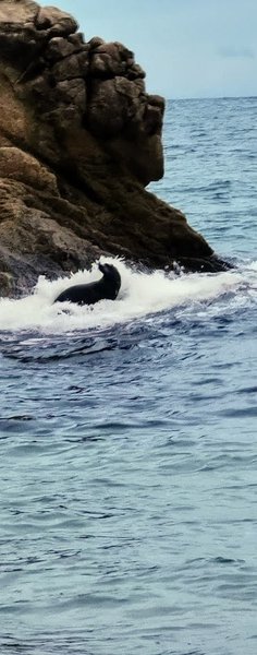
As the sun set over the ocean in magnificent pinks, purples, and blues, we gathered with others on the beach to watch a seal floating lifelessly in the crashing waves. After about ten minutes of that, the seal decided it had had enough fun playing dead and was going to play on the rocks instead.
🕥 Departed Tōtaranui at 10.30AM.
🕐 Arrived at Mutton Cove at 1PM.
👣 18,423 steps / 11.29 km walked total

Day 6
Mutton Cove - Tōtaranui
Monday 28 December 2020
And back the other way!
This time taking a more (or less?) scenic route over Gibbs Hill, passing Whariwharangi Hut and rewarding our efforts with fantastic views over the Wainui inlet, before heading back South to Tōtaranui.
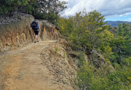
In terms of the walk, Gibbs Hill Track was certainly the most challenging during our time at the Abel Tasman. Whereas other hills, you're constantly up 100m and down 100m, with Gibbs Hill you just keep climbing and climbing and climbing. Which doesn't give your calves any sort of rest. Then once you get to the top, the descent back to Tōtaranui seemed never-ending. By the time we got there, we were exhausted. But the views from the top made everything worth it.
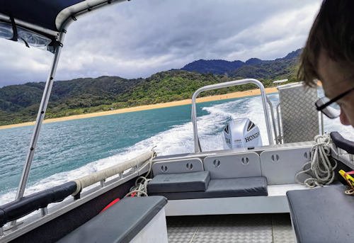
The water taxi back to Marahau wasn't the ideal experience. In my mind, passing the bays one by one would invoke all the memories from the past few days. Like going back in time, as we relive our experience tramping along the Abel Tasman coast from a new perspective. More distant, almost like we're on the outside looking in at these little vignettes as they flit by.
The reality, however, is that in order to keep all our bookings simple (shuttles to/from Nelson, kayak hire, pack transfer at Anchorage), we booked everything with the kayak hire company. We enjoyed the quiet of the first five minutes on the water, before we made our first pick-up. So the water taxi back to Marahau wasn't bad, it was just a different vibe. Day trippers packed in tight, still teeming with adrenaline from their kayaking activities, and kayaks stacked up one on top of another blocking any potential views.
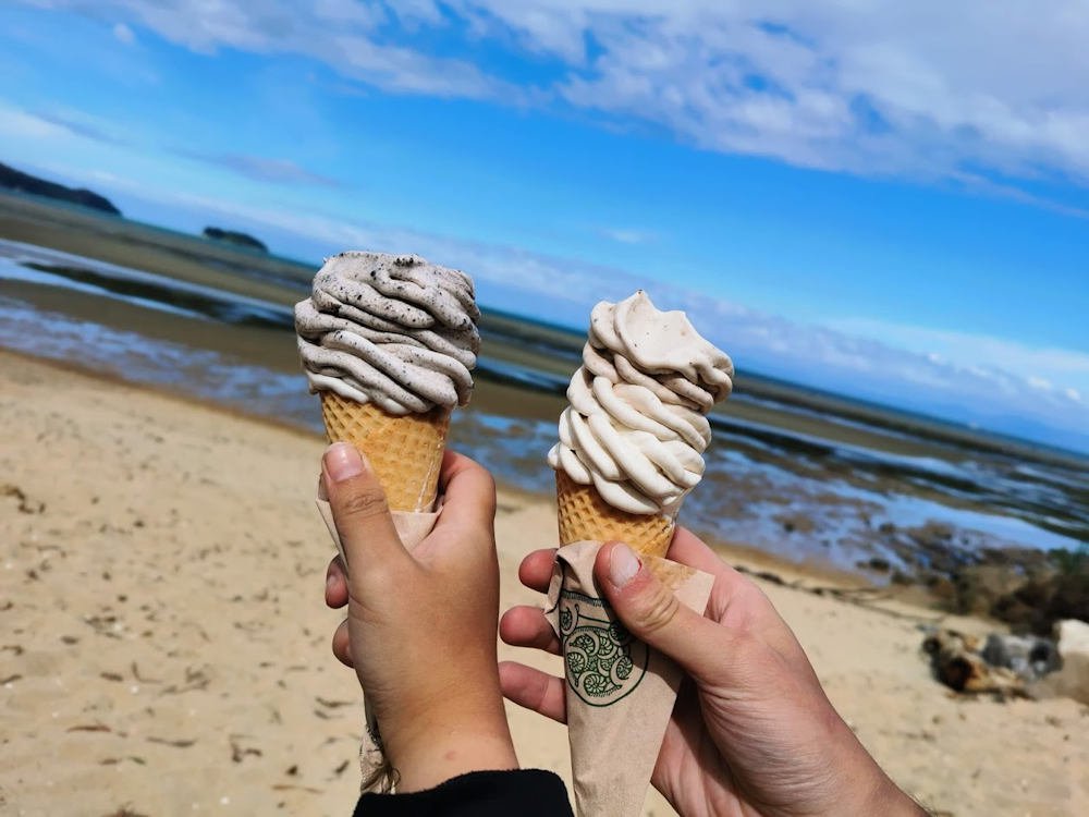
And, of course: obligatory ice cream to mark the end of our tramp 🍦
🕘 Departed Mutton Cove at 9AM.
🕑 Arrived at Tōtaranui at 2PM.
👣 31,672 steps / 19.79 km walked total

Day 7
Marahau
Tuesday 29 December 2020
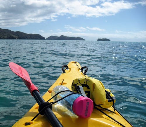
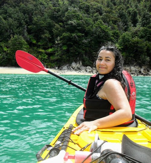
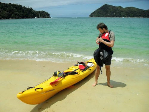
Since our first day kayaking from Marahau didn't quite go as expected, we wanted to try again. Get another go at seal-spotting, followed by paddling up to private beaches for a sandy frolic.
Day 7 wasn't an extension of the Great Walk (as the Gibbs Hill track was); it was the redo we deserved.
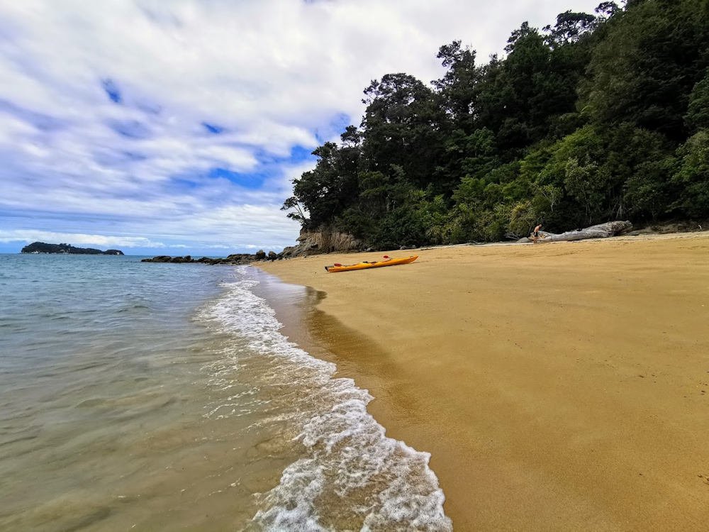
We honestly got a bit lackadaisical when it came to sun protection on our final day at the Abel Tasman. Like a cheapo Neapolitan ice cream, we returned to the kayak base that afternoon with unflattering patches of vanilla white, chocolate brown, and strawberry pink.
But if you're going to get burnt, it might as well be on the last day of your holiday!
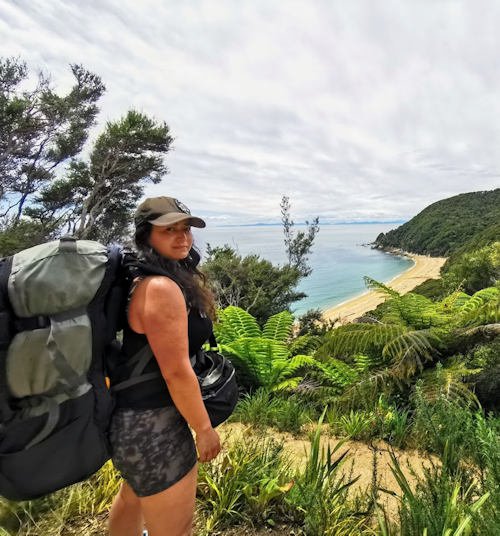
In summary, the Abel Tasman Costal Track is a phenomenal experience, no matter the weather. The water is so inviting all up the coast, that oftentimes you just won't be able to resist having a dip or even just a cheeky paddle up to your shins. The views are stunning, and you're constantly immersed in the sounds of the birds in the bush. From the weka on the track, to the tui in the flax, to the oyster catchers on the beach... Please don't be one of those people who walk around pumping out music from your Bluetooth speaker! The birdsongs are music enough!
The full length of the Abel Tasman Coastal Track is 60 km one way. Looking at my walking stats from my fitness tracker watch, my walking distance exceeded 80 km in 6 days. And that's with the kayaking on day one! Of course the 80 km also includes walks along the beach, to and from the toilet, and just exploring around the campsites.
60 km in 6 days doesn't sound like an awful lot, but constantly marching up and down and over and around hills with 15kg strapped to your back will slow you right down. Usually on day walks, we've found the DOC walking time estimates to be more than generous. Sometimes 2 hours actually works out to 30 minutes! However, carrying heavy packs uphill slowed us down dramatically. My advice would be to take the estimated walking times with a pinch of salt.
Great Walks
of New Zealand
Since moving to NZ in 2018, Ian and I wanted to make a Christmas tradition of completing one of the Great Walks of NZ. We've only just begun our adventures, but this is where we're at currently.
North Island
- Lake Waikaremoana Track
- Whanganui Journey ✅
- Tongariro Northern Circuit
South Island
- Abel Tasman Coast Track ✅
- Paparoa Track
- Heaphy Track
- Routeburn Track
- Milford Track
- Kepler Track
Are you thinking of doing a Great Walk? Leave a comment below!
What else is new?